 Access
 Analyze
 Develop
 About
About
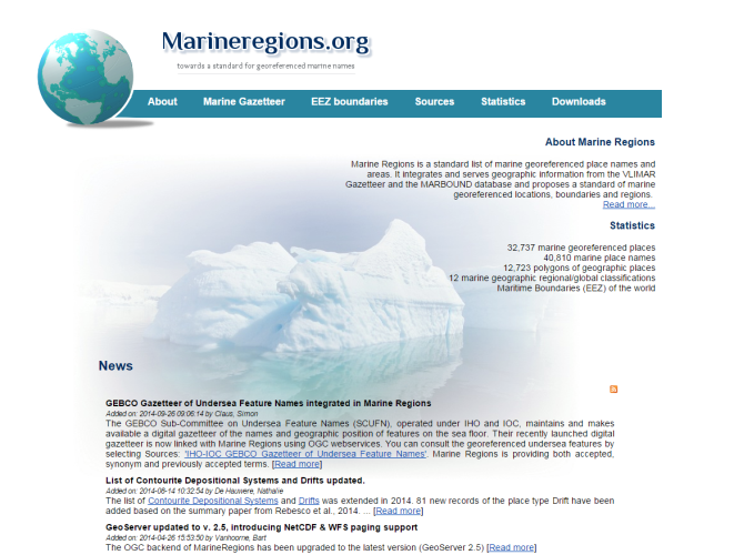
MarineRegionsThe purpose of MarineRegions is to create a standard, relational list of geographic names, coupled with information and maps of the geographic location of these features. Marine Regions is an integration of the VLIMAR Gazetteer and the VLIZ Maritime Boundaries Geodatabase (MARBOUND). The VLIMAR Gazetteer is a database with geographic, mainly marine names such as seas, sandbanks, seamounts, ridges, bays or even standard sampling stations used in marine research. The geographic cover of the VLIMAR gazetteer is global but initially focused on the Belgian Continental Shelf and the Scheldt Estuary and the Southern Bight of the North Sea. Gradually more regional and global geographic information was added to VLIMAR and combining this information with the Maritime Boundaries database, representing the Exclusive Economic Zone (EEZ) of the world, led to the creation of marineregions.org. In order to preserve the identity of the marine geographic objects from the database, and to name and locate the geographic resources on the web, MarineRegions promotes the Marine Regions Geographic IDentifier, or the MRGID. |
|
MarineRegions is managed by the Flanders Marine Institute (VLIZ). Funding for the creation of the VLIMAR gazetteer was provided initially through the EU Network of Excellence MarBEF, but also other European initiative such as EMODNet and Lifewatch provide the necessary funding for the maintenance and management of MarineRegions.
MarineRegions uses several sources: marine boundaries, ecological classifications, fishing zones, thematic gazetteers, regional gazetteers, global gazetteers and several others.
MarineRegions provides numerous web services which allow the user to have direct access to the geographic data, maps and metadata from a GIS desktop or for online applications. Currently MarineRegions provides the OGC services WMS, WFS and CSW.